
Mapping Properties With A Drone
Description
Verge is now 5th World. Subscribe to 5th World for news stories, valuable insights, and expert tips on living regeneratively: https://www.youtube.com/@5thworld_com Visit www.5thworld.com --- The newest addition to our consulting toolbox is a DJI 4 drone. Come along with Rob on this video as he demonstrates how useful this tool is for mapping properties, creating contour drawings and base maps for permaculture design. FREE RESOURCES: How To Design Resilient Homes Acreages and Farms: http://bit.ly/2mNPH4s Passive Solar Greenhouse Case Studies: http://bit.ly/2ERJKtY The Verge Blog Book: http://bit.ly/2Dqjg5G UPCOMING VERGE WORKSHOPS: Permaculture Design Certificate: http://bit.ly/2FP47t2 Permaculture Pro Webinar Series: http://bit.ly/2DivD4f Regenerative Business Mentorship: http:
Recommended on forums
 13:21How to Create a Food Forest Site Plan: Sun, Shade, and Water Flow Mapping TutorialForever Food Forest
2.3K views
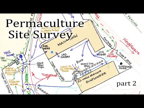 12:44Design Your Site With Permaculture part 2Learn Permaculture
1.2K views
 7:16Making your to scale base map go permaculture designCreaSol Permaculture
848 views
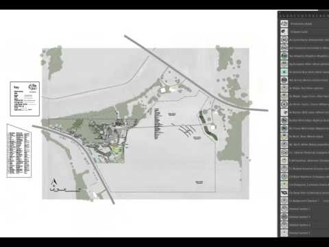 12:20How to Use a Standardized Scale for Permaculture Design from the UD Adobe Illustrator Design CourseDaniel Halsey, United Designers
2.1K views
 7:58Intro to Permaculture Mapping App InstructionsOregon State University Ecampus
9.4K views
 11:31Design Your Site With Permaculture part 3Learn Permaculture
749 views
 32:41Design and plan the Garden with Google Earth Pro and QGIS - Example: Garden from the CountrysideAdina Miron
359 views
 2:15Basics of the Permaculture Base MapHeather Jo Flores
2.1K views
 4:06What's the First Thing to Do When Designing Your Rainwater Harvesting System?VergePermaculture
1.8K views