
Making your to scale base map go permaculture design
Description
Want to map out your land like a pro without dropping cash on fancy gear? This is how we do it. In this video, I'll walk you through how to make an accurate base map for your permaculture design using just fishing line, two spirit levels, and a bit of patience. By the end, you'll know how to: Measure the slope of your land using the rise-over-run method Mark contour lines two different ways Turn your ground measurements into a scaled map using a drone photo Set yourself up for the next stages of design Get this part right and more than half the work is done. 🛠️ What you'll need: 2 spirit levels (1m or taller) Fishing line and a small hanging level A garden hose (optional) A drone (optional, but worth it) Flags, stakes, or chalk for marking points ⏱️ Chapters: 0:00 Intro 0:23 Tools you'
 3:58Mapping Properties With A DroneVergePermaculture
5.1K views
 13:21How to Create a Food Forest Site Plan: Sun, Shade, and Water Flow Mapping TutorialForever Food Forest
2.3K views
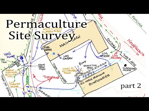 12:44Design Your Site With Permaculture part 2Learn Permaculture
1.2K views
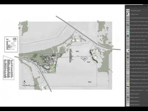 12:20How to Use a Standardized Scale for Permaculture Design from the UD Adobe Illustrator Design CourseDaniel Halsey, United Designers
2.1K views
 7:58Intro to Permaculture Mapping App InstructionsOregon State University Ecampus
9.4K views
 11:31Design Your Site With Permaculture part 3Learn Permaculture
749 views
 32:41Design and plan the Garden with Google Earth Pro and QGIS - Example: Garden from the CountrysideAdina Miron
359 views
 2:15Basics of the Permaculture Base MapHeather Jo Flores
2.1K views
 4:06What's the First Thing to Do When Designing Your Rainwater Harvesting System?VergePermaculture
1.8K views