
Intro to Permaculture Mapping App Instructions
Oregon State University Ecampus · 9.4K views · 10 years ago
Description
This is an instructional video displaying how to use the mapping application utilized in Oregon State University's Free Permaculture Course (http://open.oregonstate.edu/courses/permaculture/). This is the application used to develop your base map, sector compass, and zone map.
 3:58Mapping Properties With A DroneVergePermaculture
5.1K views
 13:21How to Create a Food Forest Site Plan: Sun, Shade, and Water Flow Mapping TutorialForever Food Forest
2.3K views
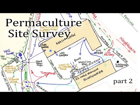 12:44Design Your Site With Permaculture part 2Learn Permaculture
1.2K views
 7:16Making your to scale base map go permaculture designCreaSol Permaculture
848 views
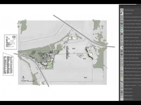 12:20How to Use a Standardized Scale for Permaculture Design from the UD Adobe Illustrator Design CourseDaniel Halsey, United Designers
2.1K views
 11:31Design Your Site With Permaculture part 3Learn Permaculture
749 views
 32:41Design and plan the Garden with Google Earth Pro and QGIS - Example: Garden from the CountrysideAdina Miron
359 views
 2:15Basics of the Permaculture Base MapHeather Jo Flores
2.1K views
 4:06What's the First Thing to Do When Designing Your Rainwater Harvesting System?VergePermaculture
1.8K views