
Design and plan the Garden with Google Earth Pro and QGIS - Example: Garden from the Countryside
Description
Proiectarea si planificarea Gradinii cu Google Earth Pro si QGIS - Exemplu: Gradina di la Tara Chapters | Cuprins 00:00 Intro 00:04 Circular Area | Aria Circulara 00:40 Draw main access road | Deseneaza calea primcipala de acces - Add Path 01:18 Hoop house | Solar - Add Polygon 02:13 Draw other elements from the garden | Deseneaza alte elemente din gradina 06:36 Preparation for drawing the contour lines | Pregatire pentru desenarea curbelor de nivel 07:15 GPS Visualizer 07:42 QGIS 12:08 Import contour lines to Google Eath Pro | Importa curbele de nivel in Google Earth Pro 13:16 Draw the Elevation Profile | Desenarea Profilului Cotelor 14:38 Terrain's history | Istoria terenului 16:05 Sun position in different times of year and day | Pozitia soarelui in diferite momente din an si zi 21:08
 3:58Mapping Properties With A DroneVergePermaculture
5.1K views
 13:21How to Create a Food Forest Site Plan: Sun, Shade, and Water Flow Mapping TutorialForever Food Forest
2.3K views
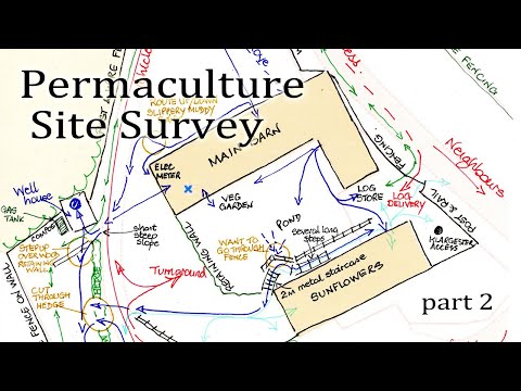 12:44Design Your Site With Permaculture part 2Learn Permaculture
1.2K views
 7:16Making your to scale base map go permaculture designCreaSol Permaculture
848 views
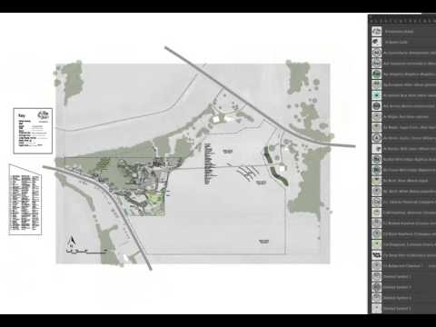 12:20How to Use a Standardized Scale for Permaculture Design from the UD Adobe Illustrator Design CourseDaniel Halsey, United Designers
2.1K views
 7:58Intro to Permaculture Mapping App InstructionsOregon State University Ecampus
9.4K views
 11:31Design Your Site With Permaculture part 3Learn Permaculture
749 views
 2:15Basics of the Permaculture Base MapHeather Jo Flores
2.1K views
 4:06What's the First Thing to Do When Designing Your Rainwater Harvesting System?VergePermaculture
1.8K views