
Terrain Features on Topographic Map | Learning Land Navigation and Map Reading
Outpost 95 - Fieldcraft Academy · 403 views · 4 months ago
Description
When you are learning land navigation and topographic map reading, it can be as confusing as learning a new language. Here we discuss what the various terrain features look like on a topographic map. Practice at reading the map we help you to visualize the terrain. Thanks for watching!
 14:50Permaculture Design for SlopeOregon State University Ecampus
221K views
 7:50Reading the LandSimeon & Alex - formerly Swedish Homestead
2.1K views
 15:00Land Navigation - Reading Terrain Features on a Topographic MapOutpost 95 - Fieldcraft Academy
671 views
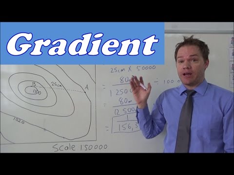 7:02Geography mapwork gradient calculationFish
680K views
 13:15Contour Lines, Slopes, River Valleys & SpursMagfar Online School
128K views
 3:54How To Calculate Slopes And Gradients?Engineering Infinity
250K views
 6:23How to Measure Elevation of Land, Slope, With a String and 2 Metal Posts: No Transit or Laser LevelMike Kincaid
261K views
 3:18How to use a LINE LEVEL to find slopeFranks Homestead
59.4K views
 5:13Calculating the Gradient of a Slope from a Topographic MapMike Sammartano
66.9K views
 3:54Surveying on Site: How to Calculate Slope Percent and Distance Interval LevelsCivil Engineering Survey
12.3K views
 2:40How to calculate gradient.movMr. G
257K views
 5:31Measure pitch/grade/slope/taperapprenticemath
382K views
 2:14How to Determine Land SlopeUNLRainGarden
300K views
 2:51How to Calculate SlopeSTLouisCountyMNGOV
293K views