
Land Navigation - Reading Terrain Features on a Topographic Map
Outpost 95 - Fieldcraft Academy · 671 views · 3 years ago
Description
In this video we will talk about reading contour lines on a topographic map to "see" terrain features. Learning to read the topographic map is the bread and butter of land navigation and understanding what you are seeing will help you navigate with more confidence.
 14:50Permaculture Design for SlopeOregon State University Ecampus
221K views
 7:50Reading the LandSimeon & Alex - formerly Swedish Homestead
2.1K views
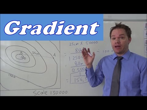 7:02Geography mapwork gradient calculationFish
680K views
 13:15Contour Lines, Slopes, River Valleys & SpursMagfar Online School
128K views
 3:54How To Calculate Slopes And Gradients?Engineering Infinity
250K views
 6:23How to Measure Elevation of Land, Slope, With a String and 2 Metal Posts: No Transit or Laser LevelMike Kincaid
261K views
 3:18How to use a LINE LEVEL to find slopeFranks Homestead
59.4K views
 5:13Calculating the Gradient of a Slope from a Topographic MapMike Sammartano
66.9K views
 3:54Surveying on Site: How to Calculate Slope Percent and Distance Interval LevelsCivil Engineering Survey
12.3K views
 2:40How to calculate gradient.movMr. G
257K views
 5:31Measure pitch/grade/slope/taperapprenticemath
382K views
 2:14How to Determine Land SlopeUNLRainGarden
300K views
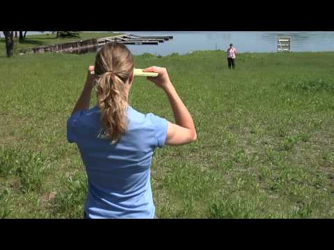 2:51How to Calculate SlopeSTLouisCountyMNGOV
293K views
 6:47Deriving Slope in Google EarthMarcos Luna
118K views