Contributing to open maps
 16:56
What keeps you from inadvertently screwing up OpenStreetMap?
State of the Map
344 views · 10 years ago
344 views · 10 years ago
 12:38
Contributing with an Open Source Toolchain ~ Devon Hanbey
OpenStreetMap US
57 views · 3 months ago
57 views · 3 months ago
 59:01
How to Contribute to Open Street Map | Hariharan Umapathi | virudhunagartechies.in
Virudhunagar Techies
196 views · 2 months ago
196 views · 2 months ago

 12:36
OSM 05- Open Street Map : How to Contribute to HOTOSMHOTOSM
Ali Osman Mohamednour علي عثمان
35 views · 1 year ago
35 views · 1 year ago
 4:35
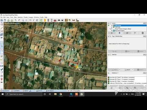
Contribute in OSM map using JOSM(Java Open Street Map) editor
Remote Sensing
1.8K views · 6 years ago
1.8K views · 6 years ago
 15:11
OpenStreetMap as a Tool for Raising Visibility of Indigenous Communities in the Amazon ~ Juan Carlos
OpenStreetMap US
50 views · 1 year ago
50 views · 1 year ago


 9:29
Impact of Mapillary Camera Grant and Scaling Open Street-Level Imagery Across US ~ Harald Kliems
OpenStreetMap US
84 views · 3 months ago
84 views · 3 months ago


 14:32
TeenMaptivists: Open Mapping in High School ~ Steven Johnson
OpenStreetMap US
46 views · 3 months ago
46 views · 3 months ago
 34:22
OpenStreetMap US Mappy Hour ~ Overpass Turbo and OpenStreetMap as a Database - December 2020
OpenStreetMap US
1.1K views · 5 years ago
1.1K views · 5 years ago

 34:09
OpenStreetMap US Mappy Hour - MapRoulette - August 2020
OpenStreetMap US
174 views · 6 years ago
174 views · 6 years ago
 17:03
Ways to Bring Your Aerial Imagery into OpenStreetMap – Liz Barry
OpenStreetMap US
218 views · 10 years ago
218 views · 10 years ago
 19:33
OpenStreetMap US & MaptimeBmore COVID-19 Mapathon Part 2 - Mapping POIs with COVID tagging
OpenStreetMap US
80 views · 6 years ago
80 views · 6 years ago

 24:21
Using Mapillary to Improve OpenStreetMap | Johan Gyllenspetz
OpenStreetMap US
3.3K views · 10 years ago
3.3K views · 10 years ago
 13:40
Pixels, Please! Powering Maps with Open Imagery ~ Cristiano Giovando & DK Benjamin
OpenStreetMap US
90 views · 1 year ago
90 views · 1 year ago

 4:38
A Satellite in Your Pocket: Ground Based Action Cameras to Create Aerial Perspective for OSM Editing
OpenStreetMap US
337 views · 6 years ago
337 views · 6 years ago
 20:10
The Power of Satellite Imagery in Disaster Response - Madison Musgrave
OpenStreetMap US
163 views · 7 years ago
163 views · 7 years ago
 16:33
Drone Imagery for OpenStreetMap - Bobby Sudekum, Baptiste Tripard
OpenStreetMap US
314 views · 10 years ago
314 views · 10 years ago
 24:37
OpenStreetMap US Mappy Hour - JOSM Tips & Tricks - September 2020
OpenStreetMap US
346 views · 6 years ago
346 views · 6 years ago

 3:55
Collaborative field mapping with Field-TM ~ Kshitij Raj Sharma
OpenStreetMap US
69 views · 1 year ago
69 views · 1 year ago

 57:42
Dive Into the Deep End: Learn to use the JOSM Editor by Mapping Swimming Pools ~ Sean Whitcomb
OpenStreetMap US
111 views · 9 months ago
111 views · 9 months ago


 15:09
The State of the Map in Maryland and How I Mapped Howard County ~ Wade Crump
OpenStreetMap US
55 views · 1 year ago
55 views · 1 year ago