
Infrastructure Mapping for Community Wildfire Resilience ~ Tim Bailey
OpenStreetMap US · 19 views · 9 months ago
Description
This presentation will be an overview of local climate resilience mapping efforts that directly support local first responders in several rural jurisdictions in Northern California. Specifically this project will explore infrastructure mapping for mitigating fire hazards in the wildland interface. --- This session was recorded for Mapping USA 2026, a virtual conference hosted by OpenStreetMap US. For more information about this and future events, visit https://openstreetmap.us/events
 9:2565 low tech things in 9 minutes - the turbo tourpaul wheaton
102K views
 6:31Dancing Rabbit Ecovillage Busy Street Walkthrough with Uncle MudUncle Mud
1.2K views
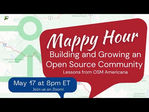 30:01OpenStreetMap US Mappy Hour: Building & Growing an Open Source Community - May 2023OpenStreetMap US
297 views
 7:21Melliodora – The birthplace of permaculture | Urban Farming | Gardening AustraliaGardening Australia
69.6K views
 17:54The Permaculture Neighborhood Center - Permaculture ArtisansPermacultureArtisans
14.8K views
 8:34Dispelling Myths For Beginning Homesteaders! 5 Myths Busted! VERY Important!Country Living Experience: A Homesteading Journey
2.1K views
 1:34:17The Suburban Backyard Homestead - Epi-3514Jack Spirko
2.4K views
 9:53Convince your employer to let you grow food.. AT WORK in 4 steps!Perma Pastures Farm
972 views
 25:09You Can Go OFF-GRID ANYWHERE! No Land? No Problem!Gridlessness
69.5K views
 10:26Cerritos CERT Training | DAY ONEHam Radio Crash Course
1.8K views
 30:44How We Would Start Homesteading in 2022Dirtpatcheaven
24.8K views
 8:36How to Design a PERMACULTURE NEIGHBORHOODAndrew Millison
154K views
 10:15Michelle and Rob Clarify their Vision and ValuesVergePermaculture
872 views
 5:07Transitioning into PermacultureDiscover Permaculture with Geoff Lawton
15.9K views