
Can Drone Technology Help Your Permaculture Design Process?
Description
Verge is now 5th World. Subscribe to 5th World for news stories, valuable insights, and expert tips on living regeneratively: https://www.youtube.com/@5thworld_com Visit www.5thworld.com --- Sure, walking your land is a great observation technique, but when you need to see spatial relationships between features of your property, only an aerial image will do the job. Google Earth Pro can help, but you won’t get high-definition image quality from satellites! So what’s the answer? Join Rob Avis as he reviews two drones that have transformed his permaculture design process: the DJI Mini 2 and the DJI Phantom 4. From discussing safety concerns and pilots’ licenses to explaining how photogrammetry gives you stitched photos that can be converted into maps using simple georeferenced orthophot
 10:38OSM can help Inventory and Manage the Curb - Daniela WaltersdorferOpenStreetMap US
155 views
 5:24Stop Giving Your Real Address. Use THIS Instead - Plus Codes ExplainedTechquickie
360K views
 28:12It’s Been a Good Run, Google Maps.Data Slayer
72K views
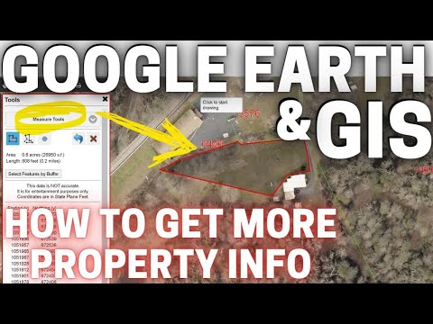 27:35How to use GIS & Google Earth for Property Searching | Farm and Homestead Search TipsThe Kraemer Life
29.9K views
 5:05Mapping FXBGO! Bus Stops: Enhancing Transit Access in Fredericksburg, VA Arianna LaGammaOpenStreetMap US
66 views
 1:08:23How To Map Your Homestead Property in Minutes for FreeStefano Creatini
1.6K views
 12:46How to Find the Property Lines of Any Home (Version 3)Mark Scheller
2.1M views
 5:14ATAK Offline Maps TutorialCOTAK
26.7K views
 4:55How to Use Google Maps Offline (+ a BETTER option) | Offline maps and navigation appProject Untethered
386K views
 2:55How to download maps to use offline on iPhone and iPad | Apple SupportApple Support
264K views
 9:06How to Create a Property Map with Google Mapsamygrotta
506K views
 3:19How To Create A Property Boundary KML/KMZ Using Google MapsThe Sovereign Homestead
161K views
 2:27How To Measure Land Area In Google MapsTrevor Nace
120K views
 15:41Organic Maps: FREE OFFLINE Maps for Hikers/Bikers!DeathfireD
15.5K views