
OpenStreetMap in the Classroom - Nuala Cowan, Richard Hinton
Description
For the past three years Nuala Cowan & Richard Hinton of the Geography department at GWU have integrated OpenStreetMap into the curriculum for their undergraduate Geographical Information Systems (GIS) & Cartography classes. In a service learning collaboration with both local & international partners (American Red Cross 2012, USAID 2014), GW Geography students have used high-resolution satellite imagery to trace road and building infrastructure (Columbia & Indonesia 2012, Kathmandu 2013), data that is subsequently used to support disaster preparedness efforts. Students who trained to participate in the Kathmandu assignment went on to work with the American Red Cross to support the OSM work in the Philippines in response to Typhoon Haiyun. In conjunction with the OpenStreetMap foundation,
 12:03School Didn’t Work — Gardening DidSelf Sufficient Me
43.4K views
 12:25How to Get kids on board Homesteading (today)Justin Rhodes
55.5K views
 1:58:5215 Things to Teach Kids that Government Schools Never WillJack Spirko
2.6K views
 10:37Giving The Gift Of Life Skills Not Entertainment AloneDirtpatcheaven
2.1K views
 2:02Garden club #gardenclub #gardening #andrethefarmer #kids #mentoring #givingback #communitygarden#Andrethefarmer
1.8K views
 11:02Getting Kids Involved In The Garden At The Earliest Possible AgeMIgardener
5.7K views
 6:21Kid Friendly Farm ActivitiesPerma Pastures Farm
1.5K views
 14:47Encouraging Your Kids' Interest In GardeningVergePermaculture
284 views
 3:40Cultivating Green Thumbs: Engaging the New Generation in Permaculture FarmingStrange Nature
42 views
 11:54How to Prepare Your Child for Life (Essential Skills)Dads Beyond the Struggles
18 views
 2:05Free Webinar: Connecting Children with Land & Growing Food 🌱Charles Dowding
24.3K views
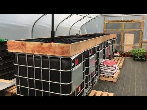 2:15Building the 'Learning Zone' in the Community Edible GardenIncredible Education CIC
13 views
 1:43:54How To Teach Ham Radio With Drew - AC3DSHam Radio Crash Course
6.3K views
 16:05Self Reliant Training From 5 to 15Dirtpatcheaven
2.1K views